Lemke Land Surveying provides hydrographic survey services for a number of water resource management needs including reservoir volume studies, sediment volume studies, and habitat mapping.
Have a project?
Floodplain & Bathymetric Services
Lemke Land Surveying provides hydrographic survey services for a number of water resource management needs including reservoir volume studies, sediment volume studies, and habitat mapping.
With our collection of high-resolution mapping equipment, we are able to provide highly detailed and accurate information for resource calculations and planning.
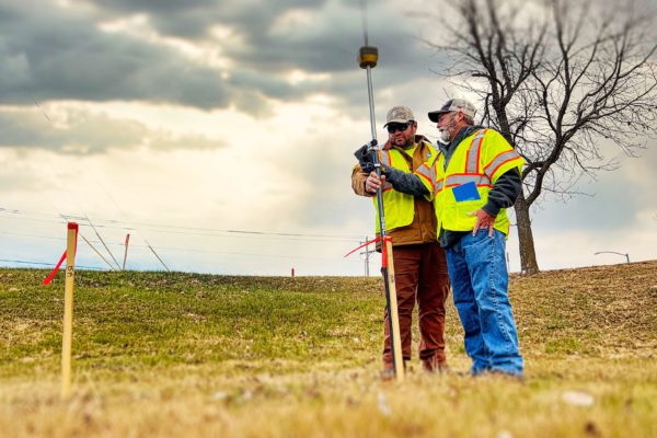
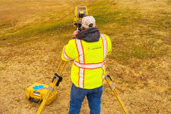
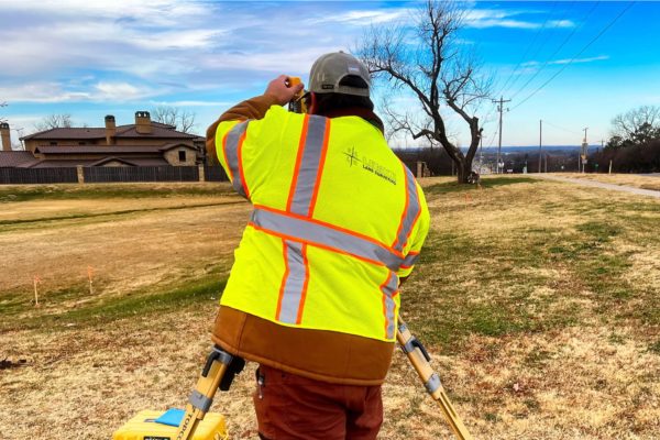
Lemke has performed a wide variety of surveying, mapping, utility relocation, and support services for stormwater management, drainage, and stream restoration projects.
Our portfolio includes stream surveys, topographic surveys, ROW and easement surveys, construction staking, 3D grading models, GPS grade control, data prep, and as-builts.
Locations & Contact Information
We want to hear from you — one of our principals will be happy to discuss your needs. Please call one of our locations below to schedule a consultation.
Norman, OK
Address:
3226 Bart Conner Drive
Norman, OK 73072
Oklahoma City, OK
Address:
14101 Wireless Way, Suite 350
Oklahoma City, Oklahoma 73134
Tulsa, OK
Address:
8622 S. Peoria Ave.
Tulsa, OK 74132
Have questions? Contact us.
One of our principals will be happy to discuss your needs.
About
Lemke Land Surveying, Inc. was established in 1994. Lemke currently holds offices in Norman, Oklahoma and Tulsa, Oklahoma and employs over 50 staff members.
